Built by a geologist
Free Geology Calculators & Earth Science Tools
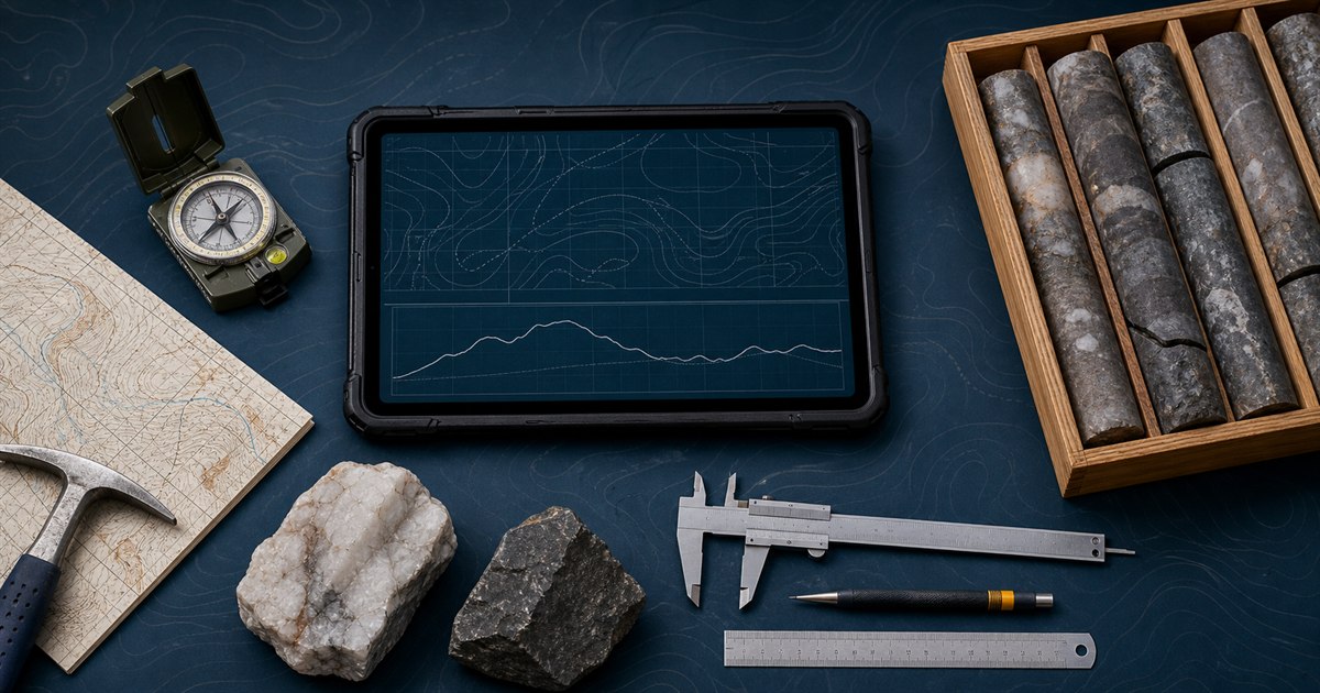
GeoMiner brings 37 free, browser-based geology calculators into one task-oriented library. Field and structural geology tools cover strike and dip, apparent dip, lower-hemisphere equal-area stereonet planes and poles, true thickness, and slope or gradient. Mapping tools convert decimal degrees, DMS, DDM, WGS 84 latitude and longitude, UTM easting and northing, map scale, ground distance, great-circle distance, bearings, and midpoints. Mining and drilling tools calculate core recovery, RQD, point-load strength index, direct cylindrical-core UCS, ore-grade units, arithmetic contained metal, simplified single-product break-even grade, explicit mine dilution and ore-loss reconciliation, waste-to-ore stripping ratio, length-weighted drill intercept grades, minimum-curvature borehole trajectories, toe coordinates, true vertical depth, displacement, dogleg, and dogleg severity. Hydrogeology tools calculate laboratory constant-head and falling-head saturated hydraulic conductivity, normalized Lugeon packer-test water take, hydraulic gradient, Darcy flux, groundwater discharge, optional average linear pore-water velocity, transmissivity and its relationship to horizontal conductivity and saturated thickness, and idealized transient well drawdown using the full Theis well function. Rock, sediment, and soil tools cover specific gravity, rock weight, total porosity, void ratio, Udden-Wentworth grain size and phi, the USDA soil texture triangle, Atterberg plasticity indices, sieve-analysis gradation curves, bounded D-values, Cu, Cc, transparent inorganic USCS classification, field dry density, and relative compaction against entered laboratory and project references. Earth-system tools compare moment magnitude, approximate radiated energy and seismic moment, explore radioactive decay and half-life, estimate linear geothermal temperature-depth relationships, and place numerical ages on the international geologic time scale. Every calculator is free and opens without an account. Raw measurements and hub search text remain in the browser. Individual pages explain units, assumptions, limitations, and authoritative sources where applicable. These tools support arithmetic, conversion, teaching, and first-pass checks; they do not certify a resource, reserve, design, hazard, boundary, coordinate, groundwater model, laboratory soil classification, compaction acceptance, or profes